Deployment Plan: Sunday March 30
Taking a look at the SPC outlook, there’s a really large level 3/5 risk area, but we’re really focusing in on the purple circle that I’ve drawn on the map.
SPC Risk Map for Sunday + Target Zone
It goes without saying that with such a large spacial area with severe storms forecast that we simply can’t see and do it all. Picking the highlighted target zone allows us to focus our resources on what seems to be the most likely area to see supercell storms with a pretty decent road network. Take a look at this HRRR future radar screenshot from the RadarOmega app for around 4PM tomorrow (Sunday). It shows some isolated storms in south east Missouri and north east Arkansas, which is what we’re targeting.
HRRR model for Sunday afternoon.
Limited Equipment: What should we do?
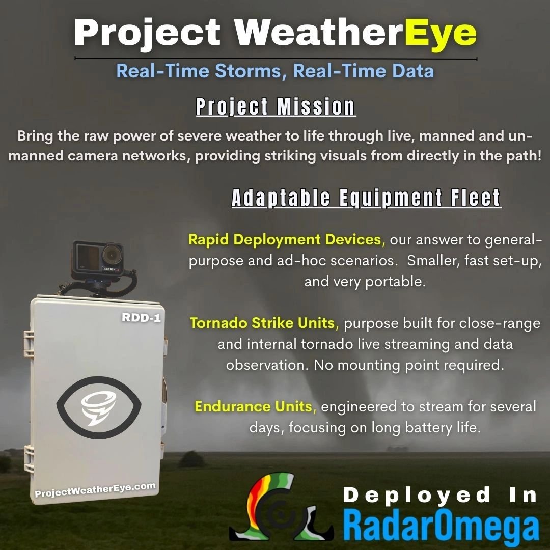
We only have a handful of devices at our disposal right now, but more are in the works. What should we do with limited equipment? In an ideal situation, or at least one with 5-6 Rapid Deployment Devices per vehicle, and perhaps a Tornado Strike Unit as well, a few could be placed on high spots with good views or areas of interest an hour or two ahead of storms. This gives us an additional view of the sky and what may develop in it while using vehicles and mobile streams to intercept close-range. It helps fill the gap and give the big picture. It’s also not a big deal to retrieve them immediately, as having some extras along gives some wiggle room for additional deployments. Keep in mind it also takes time to retrieve units afterwards.
Obviously, with a smaller fleet at the moment, we can’t do the above. We’ve got to conserve them for when we’re absolutely ready to deploy. Current thinking is that tomorrow we will try to place at least one RDD in the path of a warned storm (to its east) and then move west to intercept the storm with vehicles. The RDD can be picked up on the way out, or later on, as we appear to have a ‘day off’ on Monday, which will be used to reposition farther west for Tuesday’s severe storm risk.
This will leave a few RDDs for any tornado mishaps or hail core intercepts. The goal is to utilize as much of our equipment fleet as possible tomorrow, but I really think we want to start off a little conservative so that we don’t end up 3 hours into an event and be looking at a big tornado and be out of devices.
Be sure to follow along!
You can find our live stream tomorrow on nearly all social media platforms. If you want to interact with these cameras in a high-end, live weather app, be sure to download RadarOmega. Find information on how to view the streams here.
You can also find Aidan’s live streams over on his YouTube channel. Find his links at www.aidanowx.net . He’ll be out helping over the next few days.


