Deployment Update: Sunday March 30
It’s Sunday morning and Project WeatherEye staff and equipment is in position for a likely busy day. Severe storms are forecast from Texas to Michigan, and it doesn’t end there— expect similar situations over the next few days.
SPC risk area for today.
The Discussion…
Today and tonight, we’re looking at a potentially major storm outbreak across a huge chunk of the Southeast, lower and mid Mississippi Valley, Ohio Valley, and southern Great Lakes. The forecast is calling for numerous severe thunderstorms, with widespread damaging winds likely, and multiple rounds of that expected. We’ve also got potential for very large hail and several tornadoes in the mix wherever we get supercell storms to form. A few of those tornadoes could be on the strong side.
We’ve picked our target zone (circled in purple on the above map) to be from about the Sikeston, Missouri area south to around Greenville, Mississippi. This is fairly good ‘chase terrain,’ meaning it’s pretty flat, not a ton of trees, and good visibility. It’s much more forgiving than the forests of Mississippi or Alabama, which makes it great for our camera network. This area also looks to be most favorable for a few isolated supercells, which could enhance tornado potential somewhat.
The HRRR model below shows what the radar may look like around 4-6PM this evening.
The Equipment
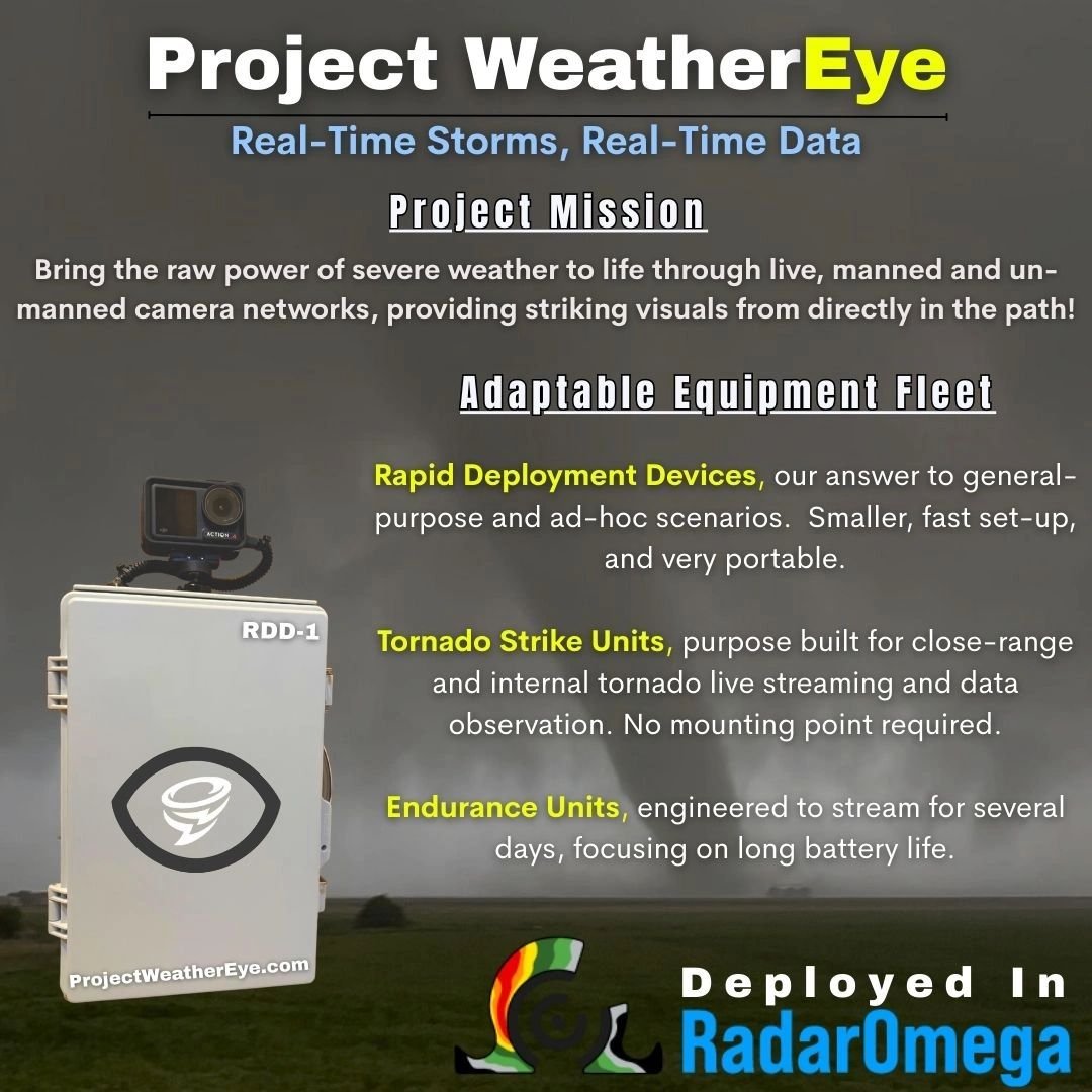
For this event, we’ve brought two vehicles and a handful of Rapid Deployment Devices. Until we expand our fleet, we’ve got to be a little conservative with how we place them. Ideally, in a fully operational mode, we’d be able to have some extra RDDs or Endurance Units (longer battery run time) that could be placed ahead of time, probably around the time that tornado or severe storm watches get issued, to monitor a greater spacial area. Unfortunately, we’re just not quite there yet, so we’ll make do with what we have and try to hold on to the RDDs until we get directly in the path of a storm, then deploy them. It’ll be a good test run for them as we haven’t had them in severe storms yet. However, we can proudly note that our test deployment the other day did go as planned!
Tomorrow (Monday)
Not so sure about chasing, streaming, or deployment opportunities on this one. Looks like it would move us well out of position for the next few days. So, TBD.
SPC risk area for Monday
Tuesday: Severe risk, but is it at night?
Tuesday brings with it a severe risk, but mainly for big hail. Some model data suggests it’ll be an after-dark event, which is OK, but not ideal for live streaming cameras. We’re watching this risk area very closely.
SPC risk area for Tuesday
Wednesday (It just doesn’t stop)
There’s a giant severe risk on Wednesday, too. Pretty similar in spacial coverage to today’s risk, actually. Models do suggest this may be a big deal of an event, even higher ceiling of potential than today. We’ll see how things come together. It’s too early to make calls, but I would think by tomorrow afternoon we’ll begin to get a better picture. This will be a deployment day for the Project for sure.
SPC risk area for Wednesday
And we’re not done…Thursday
There’s this general severe storm risk for Thursday, but it’s likely the ‘left overs’ from Wednesday moving past, but some re-formation or new development is possible.
SPC risk area for Thursday
Watch Project WeatherEye in Action
Find our broadcast quality stream on YouTube: SeeTheStorm.net
Also be sure download and check out RadarOmega! Find out how to use the integration between RadarOmega and our Project here.


